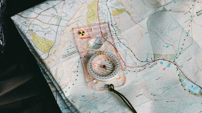
Map creation is a complex and multifaceted process that combines geography, design, and modern technology. Maps are used in a wide range of fields, from education and navigation to business and analytics.
For a political map to be truly useful, it’s important to consider not only the accuracy of the data but also its ease of use.
What map development involves
Map development begins with defining the purpose. Depending on the task, different types of maps are created:
- geographical;
- political;
- thematic;
- navigational;
- digital interactive maps.
Each has its own characteristics and design requirements.
After defining the purpose, the source data is selected. This can include geographic coordinates, statistical information, satellite imagery, or other sources. It is important that the data is current and reliable.
Basic Rules for Map Creation
One of the key principles is accuracy. Any errors in coordinates, boundaries, or labels can lead to misinterpretation of the information. Therefore, it is important to use reliable sources and regularly update the data.
Selection of scale is equally important. It should be appropriate to the map’s purpose. A small scale is suitable for a general overview, while a larger scale is suitable for detailed analysis. Scale directly affects the level of detail and readability.
It’s also important to strike a balance between information content and simplicity. A cluttered map with too many elements becomes difficult to comprehend. It’s better to highlight key data and present it as clearly as possible. Proper map design is crucial. Colors should be chosen so that elements are easily distinguished. Contrasting, but not overly bright, shades are desirable. Labels and fonts should be legible. It’s important to consider the map’s size and display format—what looks good on a computer screen may be difficult to print.
Modern technologies have significantly simplified the map development process. Today, geographic information systems are widely used, allowing users to work with large volumes of data, analyze it, and visualize it in a convenient format.
Digital maps can be interactive: users can zoom in and out, turn layers on and off, and access additional information. This makes them especially popular in business and analytics.